
01. What geoscience services do you offer?
We offer geoscience consultancy, precision geological studies, advanced geophysical mapping, geochemical analysis, and integrated environmental monitoring for various sectors of the Angolan economy.
02. How does geophysical mapping work?
We use cutting-edge technologies to map subsurface characteristics like resistivity, magnetism, and gravity, identifying potential mineral deposits and crucial geological structures.
03. What type of professional training do you provide?
We offer certified courses and training programs to capacitate students and professionals in geological analysis, fieldwork, and applied geoscience technologies.
04. How do you ensure environmental sustainability?
We develop integrated environmental monitoring strategies, environmental impact studies, and recovery plans to ensure sustainability in all project phases.
05. What is GeoResearch's market experience?
Founded in 2009, we are Angolan leaders in geosciences with over 13 years of experience, 50+ completed projects, and 300+ trained students in various sector specialties.
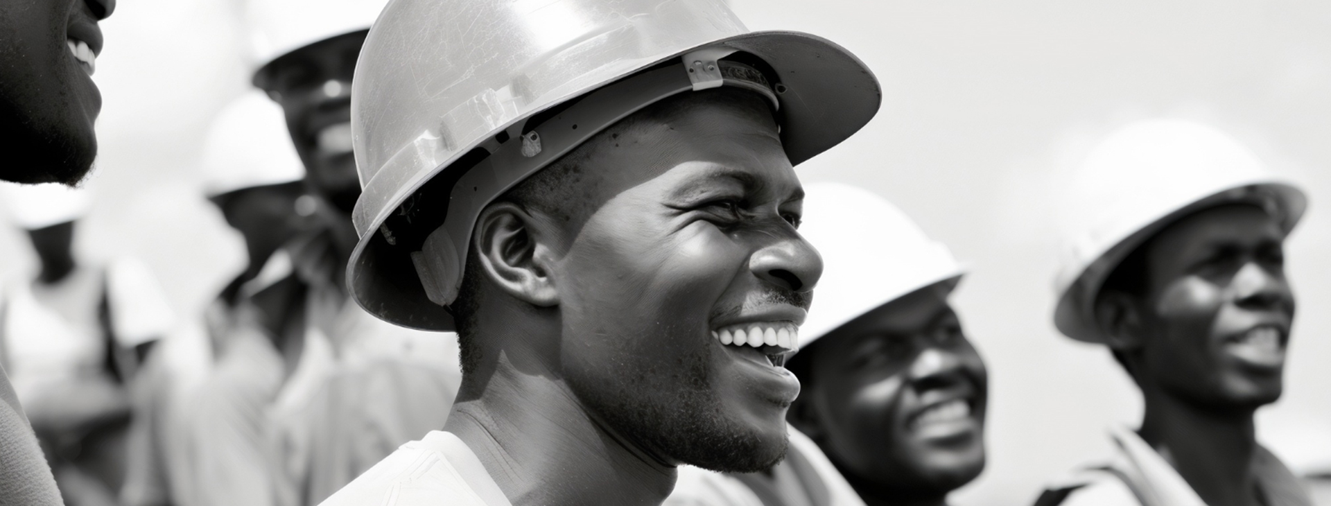
ABOUT
WE ARE QUALIFIED &
WE ARE QUALIFIED &
PROFESSIONALS
GeoResearch is pleased to present itself as a leading Angolan company in geosciences research and services, founded in 2009 with the objective of strengthening the sector's range of companies and contributing to the country's sustainable development.
WORK PROCESS
Our dedication to excellence and our passion for geoscience drive every aspect of our work.
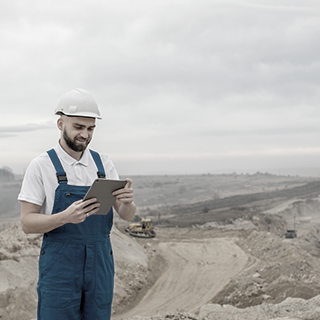
Geophysical Survey
We use advanced geophysical survey techniques to map subsurface features such as resistivity, magnetism and gravity.
Learn More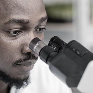
Geochemical Analysis
Through precise geochemical analyses, we investigate the composition and distribution of chemical elements in soil, rocks and groundwater.
Learn More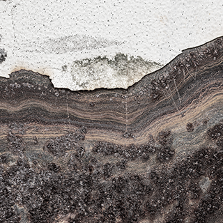
Geological Modeling
We employ advanced geological modeling techniques to create detailed three-dimensional representations of the subsurface.
Learn More